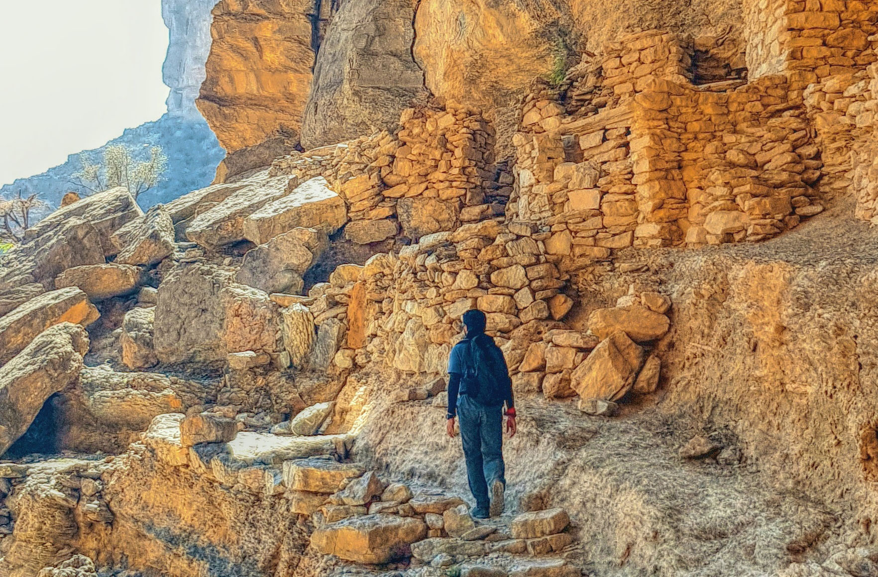

BLURB: A renowned geologist from Oxford University Prof Michael Paul Searle says Oman, with its amazing landscapes, contains many world-class geological sites. Great efforts are now being made to preserve these as World Heritage sites, Geoparks, and sites of special scientific interest.
Singapore-born Michael Paul Searle is a professor of Earth Sciences in the University of Oxford who has been actively researching on the geology of Oman Mountains for three decades.
His interest in geology started as he was a rock climber and mountaineer. He organised and climbed Himalayan peaks in India, Nepal and the Karakoram of Pakistan from 1980-2010 including expeditions to Masherbrum, K2, Biale and Trango Towers (Pakistan), Shivling (India) and Langtang Lirung, Everest and Makalu in Nepal and ShishaPangma in Tibet.
After obtaining his PhD, he concentrated on work along the Karakoram and Himalaya where he continues to work.
He first visited the Sultanate in 1968 when he was 16 years old and Geoff Searle, his father worked as a Finance Manager in PDO from 1967-1978 and retired. Michael continued working in Oman and has been visiting each year during winter with colleagues and students from Oxford University.
His mum held several local jobs including working with Don Bosch Mission Hospital in Muttrah and later as a Reuters correspondent in Muscat.
The Sultanate has remained his first love when it comes to training geologists to explore the landscapes and geology of Oman.


According to this famed researcher, the Oman Mountain range is globally famous for its exposures and structure of the Semail Ophiolite, a thrust sheet of rocks formed in the Tethyan Ocean around 95 million years and emplaced from the ocean onto the Arabian continental margin during the Late Cretaceous (from 95 to circa 70 million years ago).
He recently published a new book Geology of the Oman Mountains, Eastern Arabia, by Springer in 2019. His PhD was on the structure and metamorphism of rocks beneath the Oman Ophiolite in 1980.
The ophiolite rocks include the full range of oceanic crust, including pillow lavas with inter-leaved radiolarian cherts, fossiliferous deep-water sediments, sheeted dykes, and lower crust gabbros, overlying a thick sequence of upper mantle peridotites.
Michael says that “these ocean crusts and mantle rocks are only rarely exposed on-land as ophiolites, thrust sheets emplaced onto continental margins during the early stages of mountain building. The Sultanate and UAE have the largest, best-exposed, and most intensively studied ophiolite in the world.”
The entire thrust sheet, up to 15 km thick, was emplaced from NE to SW as a single structural unit providing unique exposures for geologists to determine the structure, composition and age of the oceanic crust and mantle.
A thin sheet of metamorphic rocks exposed along the base of the ophiolite, originally basalts and sedimentary rocks now metamorphosed to amphibolites and greenschists, record pressures and temperatures of formation during the initiation of the subduction zone.
Oceanic rocks originally deposited on the ocean floor between the continent and the ophiolite (called the Hawasina and Haybi complexes) were emplaced onto the continental margin as thrust sheets beneath the ophiolite, Prof Michael explains.
All these rocks were thrust above the shelf carbonates which were formed along with the Arabian plate between the Permian (ca 250 million years ago) and the Late Cretaceous (about 95 million years ago).
These rocks form many of the oil reservoirs in the interior and are now beautifully exposed in the cliffs and wadis around the Musandam peninsula, Jebel al Akhdar and Saih Hatat.
During the later stages of the ophiolite emplacement process the leading margin of the Arabian plate was subducted to great depths, around 100 km deep into the mantle, and then ejected back along the same subduction zone.
These high-pressure eclogite facies rocks are seen around the North East coastline around As Sifah. Later uplift and folding on a huge scale exposed the ophiolite as the dark-coloured spikey mountains surrounding the massive anticline folds of Jebel al Akhdar and Saih Hatat.
The Oman Mountains were originally studied in the 1970s by a Shell team headed by Ken Glennie (1928-2019), a petroleum geology legend and one of the giants of the oil industry.
Their reports and maps provided the foundation for all subsequent works.
Field studies and mapping provide the building blocks for all geological research, but recent advances in many fields, notably satellite geodesy, geochronology, geochemistry, and geophysics have provided incredible new data with which to interpret the geological structure of the Oman Mountains.
Oman contains many world-class geological sites, and great efforts are now being made to preserve these as World Heritage sites, Geoparks, and sites of special scientific interest, by Omani and foreign geologists and the government.
Prof Michael hopes that these unique scientific sites will be preserved from future developments.
“The preservation of these unique sites will ensure that Oman remains at the pinnacle of geological research and geo-tourism for decades to come,” he mentions.
Prof Michael who has supervised a number of PhD, DPhil and research students has published over 220 papers in leading international peer-reviewed journals. He also has published more than 100 scientific papers on the geology of the Himalayas, Karakoram and Tibet.
Some of the key areas he worked include Himalayan ranges of North Pakistan, Nepal, Sikkim and Bhutan, Karakoram, Hindu Kush, Pamir ranges of central Asia. This also included the Ophiolite formation and obduction processes in Oman, UAE, Ladakh, South Tibet, Indo-Burma ranges, Jade Mines (Burma), the Andaman Islands, and Lizard complex (Cornwall).
Oman Observer is now on the WhatsApp channel. Click here


